Leica iCON GPS 70 Series
Leica iCON GPS 70 Series is backordered and will ship as soon as it is back in stock.
Couldn't load pickup availability
Available To Hire
Available To Hire
The vast majority of our products are also available to hire.
Hiring comes with a number of benefits including:
- Easy access to the latest technology
- Reduced costs
- Short or long-term contracts
- Fast delivery and collection
Free UK Delivery *
Free UK Delivery *
We offer free delivery throughout the UK on all orders over £350.
Key information:
- We deliver to the UK Mainland only (i.e. England, Scotland & Wales).
- We will normally send your order to you the next working day for stock items.
- We dispatch orders Monday to Friday (excluding UK public holidays).
Price Match Promise
Price Match Promise
Our Price Match Promise is that, should you find any item cheaper elsewhere, we will aim to match or beat that price.
Finance Options Available
Finance Options Available
Subject to status, we are now able to offer Hire Purchase and Finance Lease on a whole range of equipment.
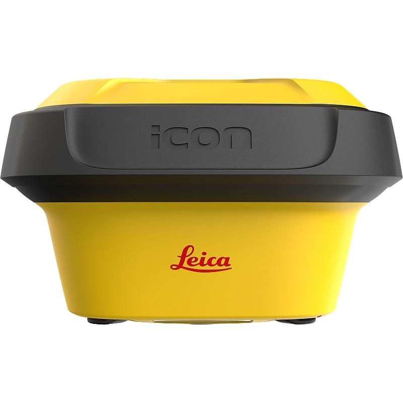
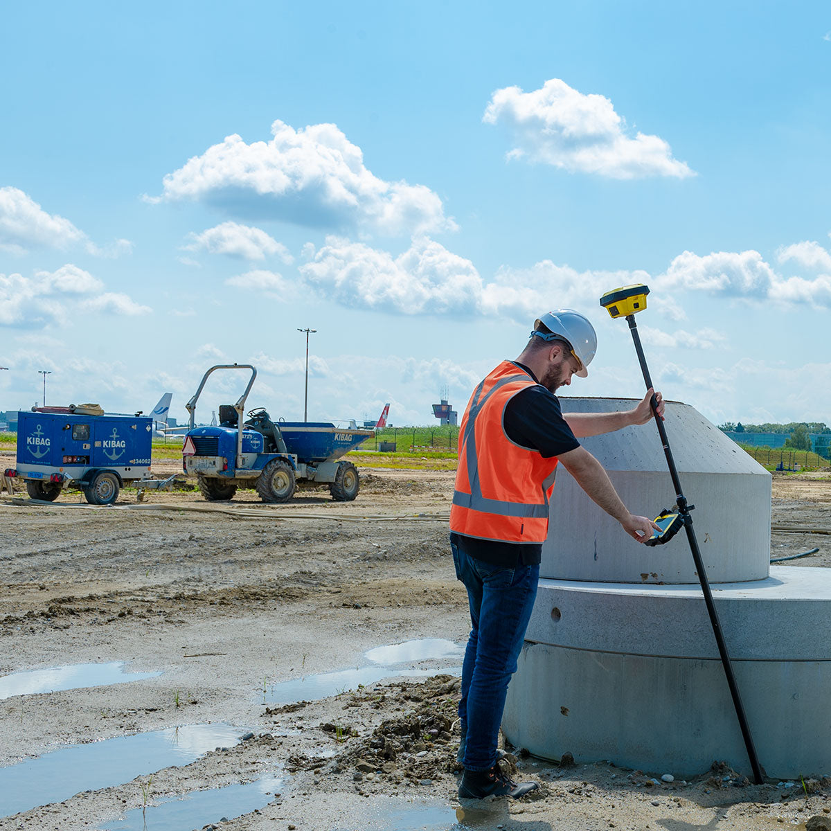
With the iCON GPS 70 T, construction professionals can measure and Stake Out points quicker than ever before without the need to keep the pole vertical to level the bubble.
The combination of the latest GNSS technology and inertial measurement unit (IMU) equips the gps 70 T with true tilt compensation.
Free yourself form the boundaries and limitations of working with the pole in vertical positions and increase productivity compares to conventional methods. Collect as-built field data and Stake Out designs faster while increasing accuracy and reducing critical errors.
The iCON gps 70 series is seamlessly integrated into the Leica iCON field software. By keeping the core central interface, following the unrivalled Leica iCON concept, you will benefit from the simple-to-use workflows which require less training and avoid costly downtime.
Tilt – Traceability – Trust
There is no need to hold the pole vertical when taking measurements. Full traceability by storing tilt values with each measurement improves the quality of control of any measured point. The permanent tilt compensation extends your measurement possibilities, improves quality and accuracy of your collected data as well as eliminating critical errors as levelling the bubble is no longer necessary.
Permanent Tilt Compensation
- Calibration-free
- Resistant to magnetic interferences
- Increased measurement productivity and reduction of human error
Superior and Future-proof GNSS Technology
- 555 channels for more signals, faster acquisition and improved sensitivity
- Intelligent management of multi-frequency, multi-constellation signals
- Intelligent selection to automatically reject reflected or noisy signals
Hardware and Ergonomics
- Compact and lightweight housing
- UHF radio
- Tilt and non-tilt variant
Smartcheck+ and Smarttrack+
- Unique RTK technology provides continuous checks to guarantee correct results
- Initialisation within seconds
- Complete reliability
Robustness for most demanding sites
- IP66/IP68 protection
- Built for extreme temperatures of -40°C to +65°C
- Fulfils toughest standards throughout the complete product lifetime
- Rugged aluminium housing
iCON Field Solution
- Seamless integration into iCON field solution
- Easy-to-use software interface and seamless data flow throughout the workflow
- Exceptional application functionality
Leica ConX cloud-based collaboration tool for real-time 3D data exchange/
Technical Information
| GNSS Technology | |
| Self-learning GNSS | Leica RTK Plus - Adaptive on-the-fly satellite selection |
| Leica SmartyCheck | Continuous check of RTK Solution 99.99% reliable |
| Signal Tracking | GPS (L1, L2, L2C, L5), Glonass (L1, L2, L33), BeiDou (B1, B2, B33), Galileo (E1, E5a, E5b, Alt-BOC, E63) |
| Number of Channels | 555 (more signals, fast acquisition, high sensitivity) |
| Tilt Compensation | Increased measurement productivity and Traceability Calibration-free Immune to magnetic disturbances |
| Measurement Performance | |
| Time for initialisation | Typically, 4s |
| Real-time Kinematic | Single baseline - Hz 8 mm + 1 ppm / V 15 mm + 1 ppm Network RTK - Hz 8 mm + 0.5 ppm / V 15 mm + 0.5 ppm |
| Real-time kinematic tilt compensated1 | Topographic points (not for tatic control points) - Additional Hz pole tip uncertainty typically less than 8 mm + 0.4 mm/° tilt down to 30° tilt |
| Post processing | Static (phase) with long observations - Hz 3 mm + 0.1 ppm / V 3.5 mm + 0.4 ppm Static and rapid static (phase) - Hz 3 mm + 0.5 ppm / V 5 mm + 0.5 ppm |
| Code differential | DGPS / RTCM - Typically 25 cm |
| General | |
| Field controller and software | Leica iCON site/build - Leica CC80 field controller |
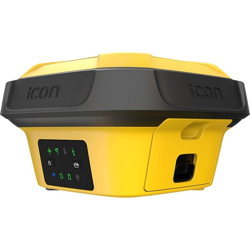
| User interface | Buttons and LEDs - On / Off and Function button, 8 status LEDs Web server -Full status information and configuration options |
| Data recording |
Storage – Removable SD card, 1 or 8 GB |
| Weight | 1.20kg / 3.50kg standard RTK rover setup on pole |
| Dimensions | 173x173x108mm |
| Operating Temp. | -40°C to +65°C |
| IP Rating | IP66 |
Benefits
- System is up and running in no time
- Rapid interchange of control panels between machines, giving you extra flexibility on site
- One Cradle for all iCON excavate and iCON grade panels
- Easy removal of core components for overnight security
- Contact and cable free connection to control/display panels
- Safety shut down feature protects system and data
- Cradle stores machine specific settings such as hydraulic tuning
- Unique patented Snap on/Snap off capability
Downloads
-
Brand
Payment & Security
Payment methods
Your payment information is processed securely. We do not store credit card details nor have access to your credit card information.


